Embankment Compaction Management System
TE Nav
CB-100041-VE
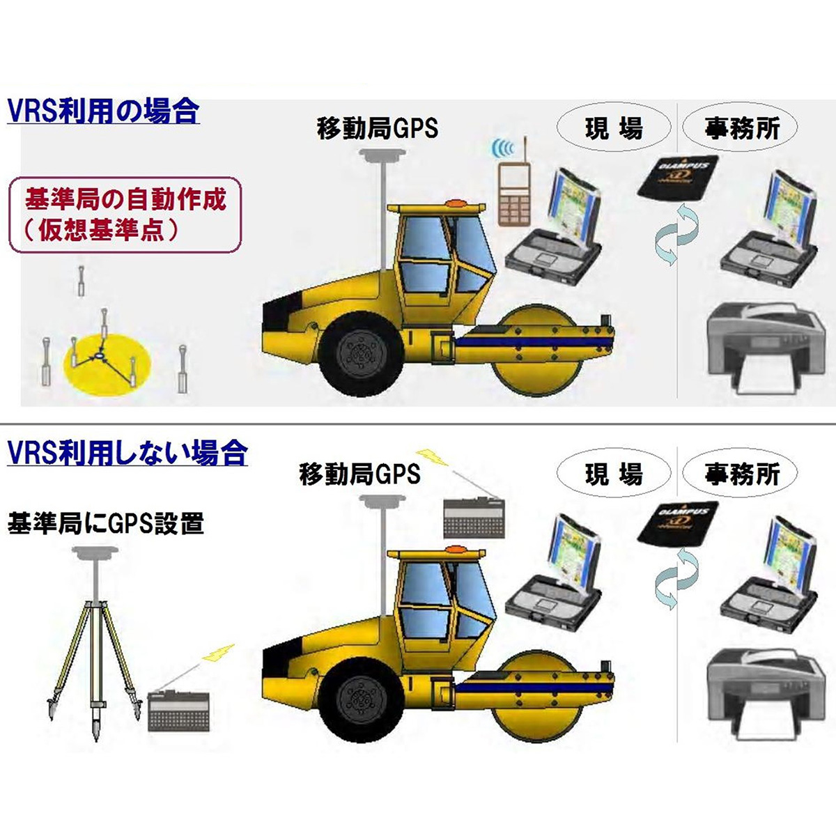
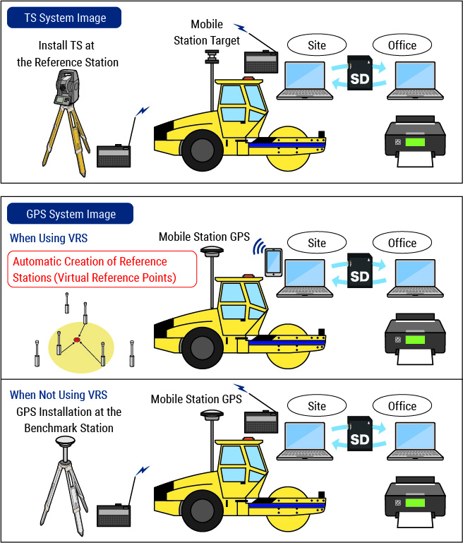
The Ministry of Land, Infrastructure, Transport and Tourism (MLIT) has compiled ''the Guidelines for Computerized Construction Management of Embankment Compaction Using Total Stations and GPS (Draft)'', positioning it as the third management method following the conventional sand replacement and RI gauge methods. TE Nav supports both total stations and GPS, assisting in computerized construction for river works, road earthworks, and paving projects.
System Configuration
-
![System Image]()
System Image
-
![System Flow]()
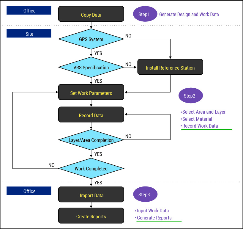
System Flow
-
![Operator Screen]()
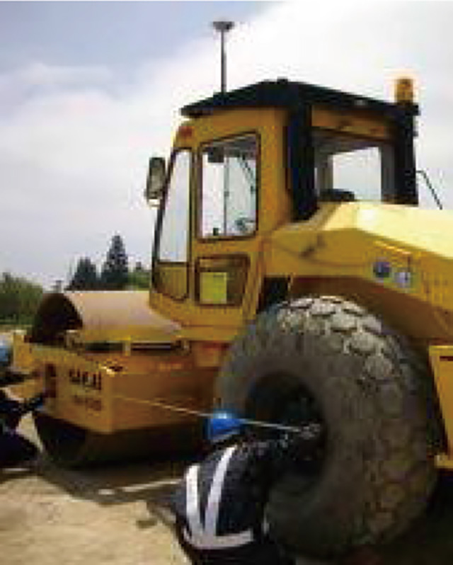
Equipment Installation
-
![Report Output]()
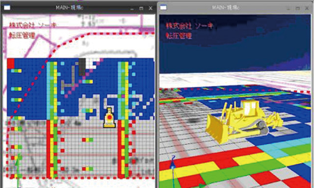
Operator Screen
-
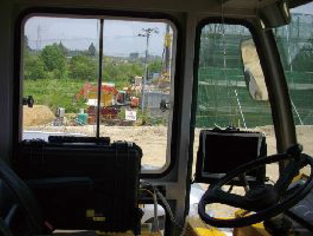
![Equipment Installation]()
![Equipment Installation]()
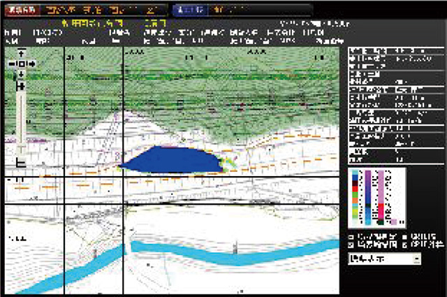
Generate Report
Specifications
| Item | TS (Total Station) | GPS (Global Positioning System) | |
|---|---|---|---|
| VRS Usage | No VRS | ||
| Accuracy | Horizontal : ±1 to 3 mm Vertical : ±1 to 3 mm | Horizontal : ±10 to 20 mm Vertical : ±20 to 30 mm | |
| Scope of Work | Approx. 700 m × 700 m /Section | No Restrictions | Approx. 700 m × 700 m /Section |
| Line of Sight | Do Not Obstruct the TS Laser Sighting. | Ensure Continuous Satellite Signal Reception. | |
| Weather | Measurements Cannot Be Performed in Severe Weather. | All-Weather | |
| Units in Operation | Multiple Units / Section | Multiple Units / Section | |
| Overall Evaluation | Provides Stable Accuracy and Measurements, but Managing The TS Requires Considerable Effort. Suitable for Medium-Scale Earthworks. | System Management is Easy, but Data Stability is Lower. Suitable for Large-Scale Earthworks. | |