Tunnel Clearance Measurement System
3D Tube
SK-120005-VR
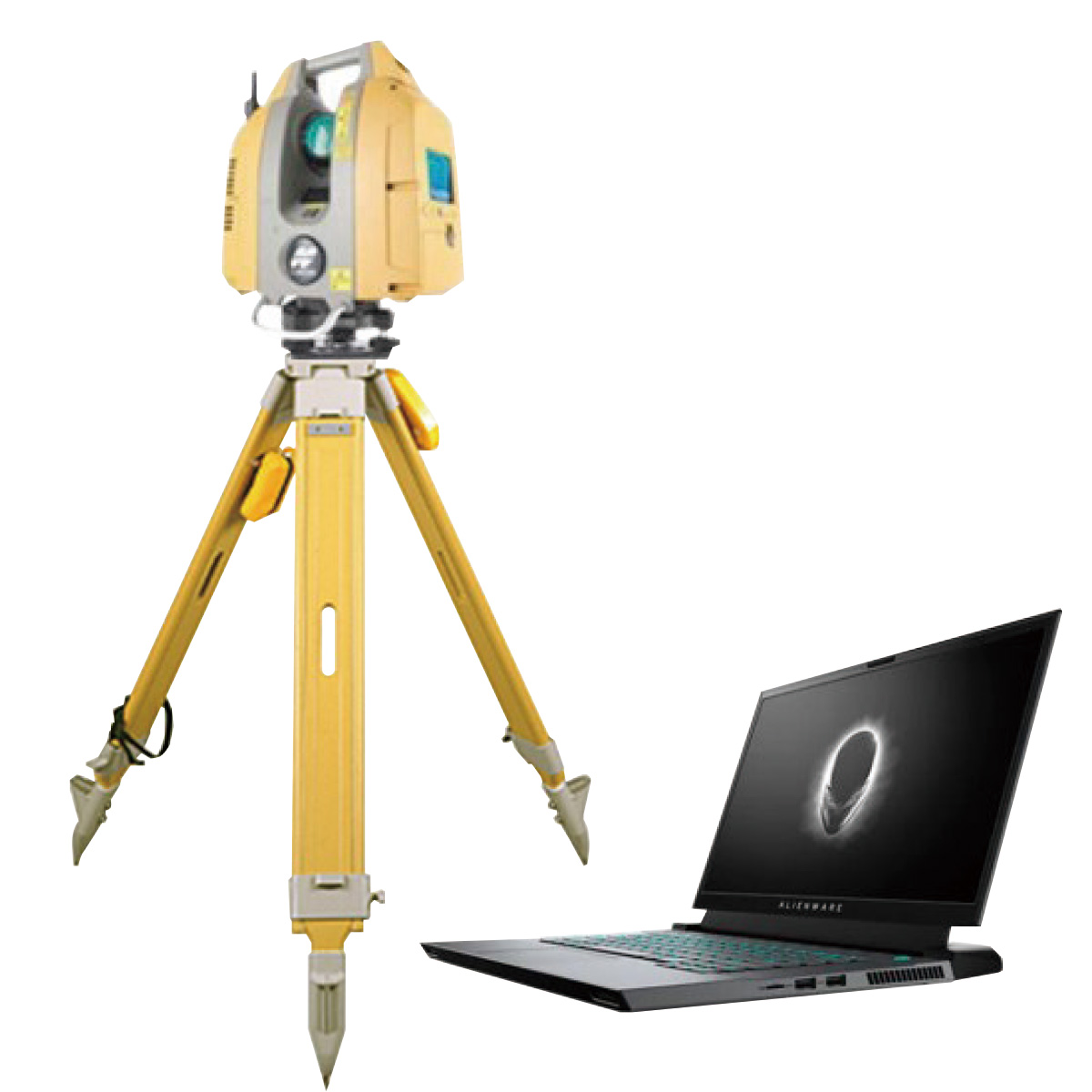
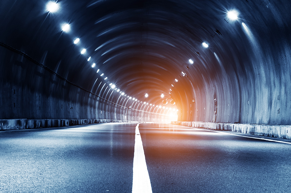
This system measures the tunnel’s internal dimensions using a high-precision 3D scanner and outputs data on over-excavation and under-excavation relative to the design, the volume of lining concrete, and as-built management. By managing surfaces with the multi-point cloud data characteristic of 3D scanners, it supports improved quality in tunnel construction.
Overview Diagram
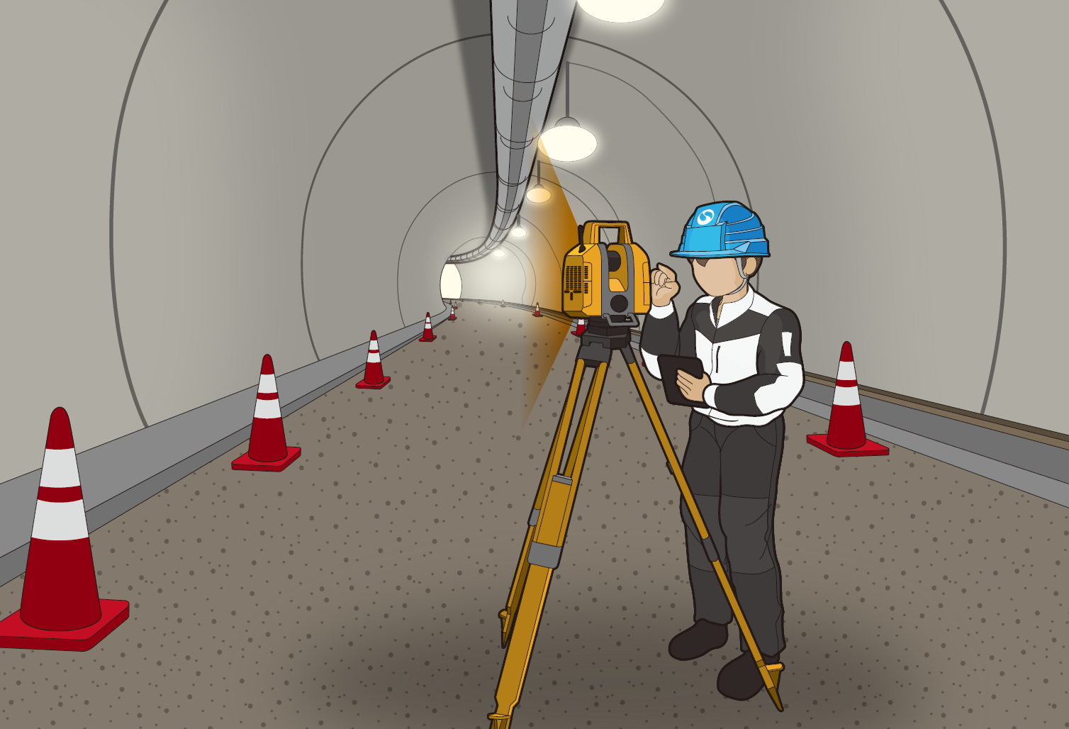
Management Software
-
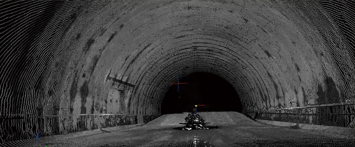
![Point Cloud 3D Model]()
Point Cloud 3D Model
-
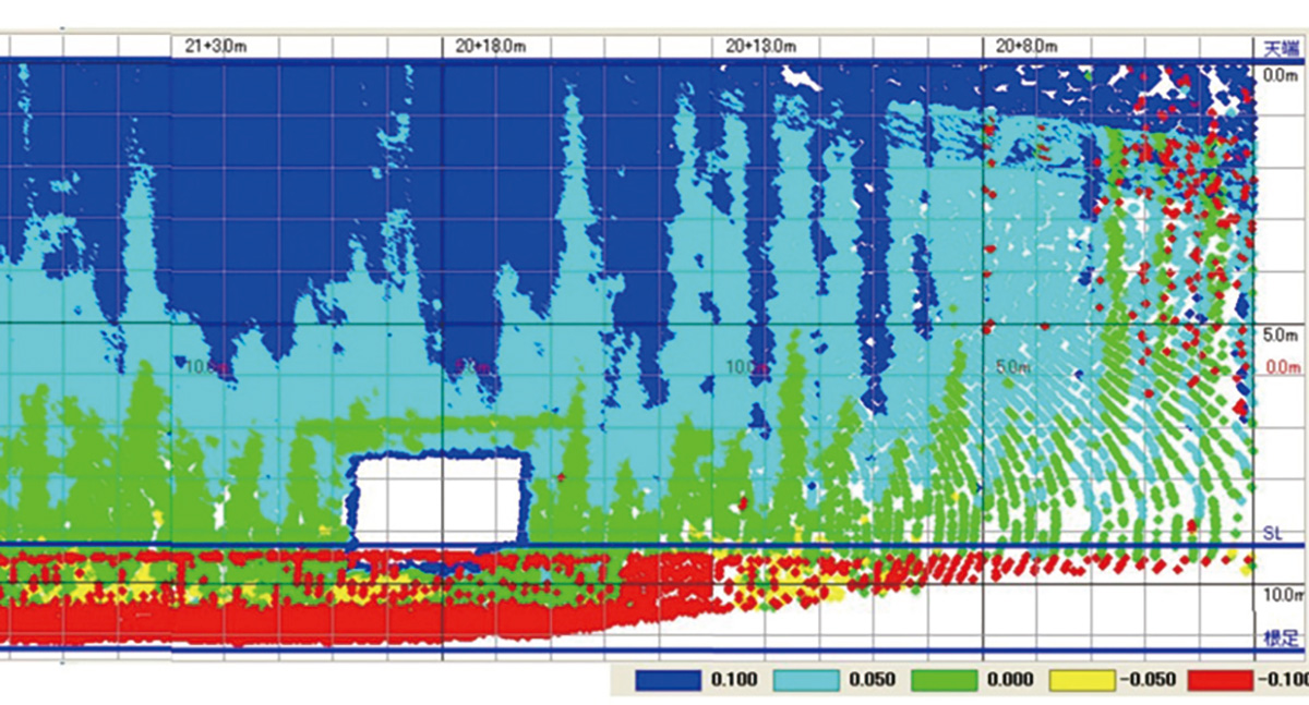
![Side View Drawing / Comparison With Design Values]()
Side View Drawing / Comparison With Design Values
-
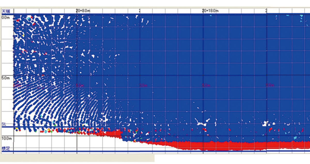
![Side View Drawing / Comparison With Design Values (e.g., Thickness)]()
Side View Drawing / Comparison With Design Values (e.g., Thickness)
-
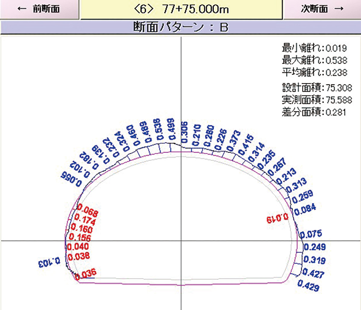
![Cross-Section Display]()
Cross-Section Display
・Comparison with design values
・Comparison with measured values (e.g., lining thickness) -
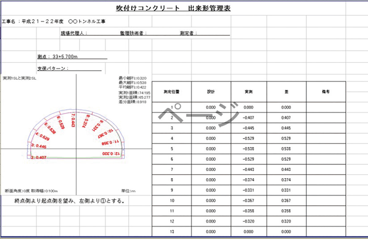
![Work-in-Progress Management Sheet]()
As-built Management Sheet
Specifications
| Model | GLS-2200S |
|---|---|
| Maximum Measurement Distance | 130 m |
| Measurement Range | Horizontal: 360°, Vertical: 270° |
| Maximum Points Acquired | 120,000 points / s |
| Actual Measurement Time | Approx. 7 to 10 min |
| Measurement Accuracy (Distance) | 3.1 mm |
| Measurement Accuracy (Surface) | 1.0 mm |
| Weight | Approx. 10 kg (including battery and leveling base) |