3D LiDAR-Based Navigation Detection System
Vessel Navigation Detection System
KKK-090002-VE
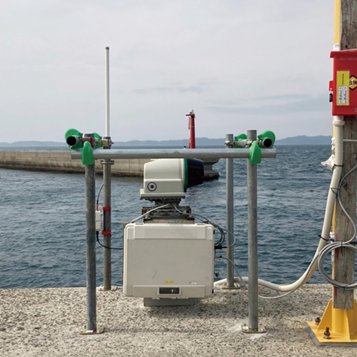
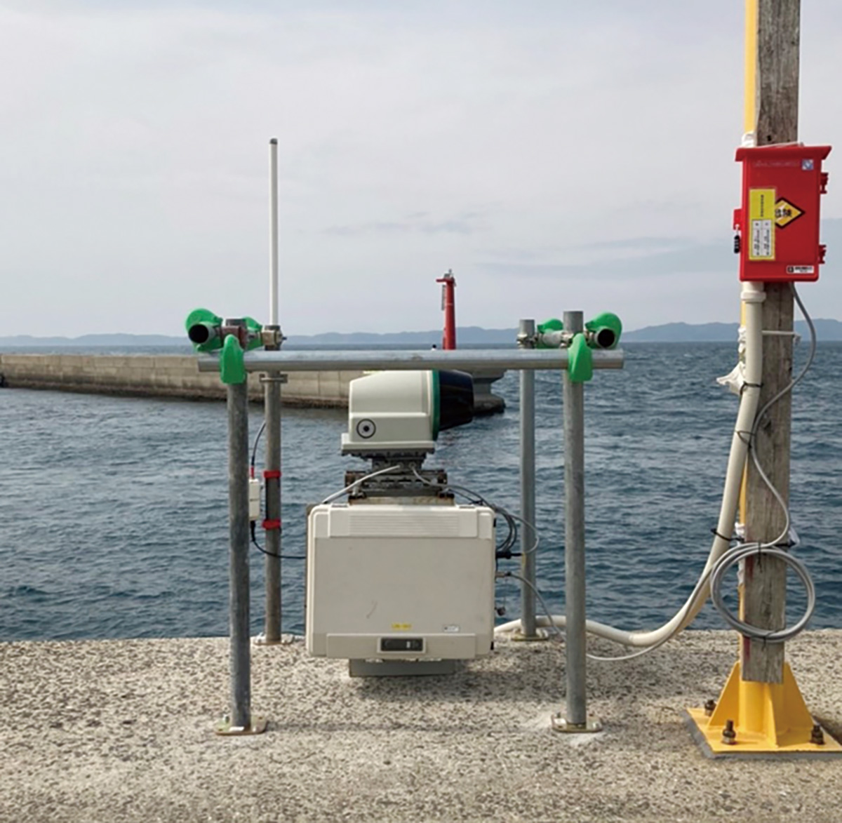
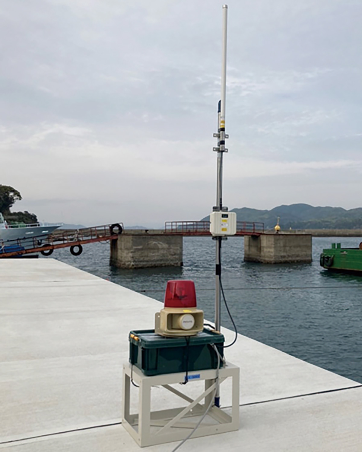
This system is a navigation detection and alert system using a rotating laser scanner. It detects vessels entering the monitored area based on changes in distance measurements and can alert construction sites or work vessels of approaching vessels.
Overview Diagram
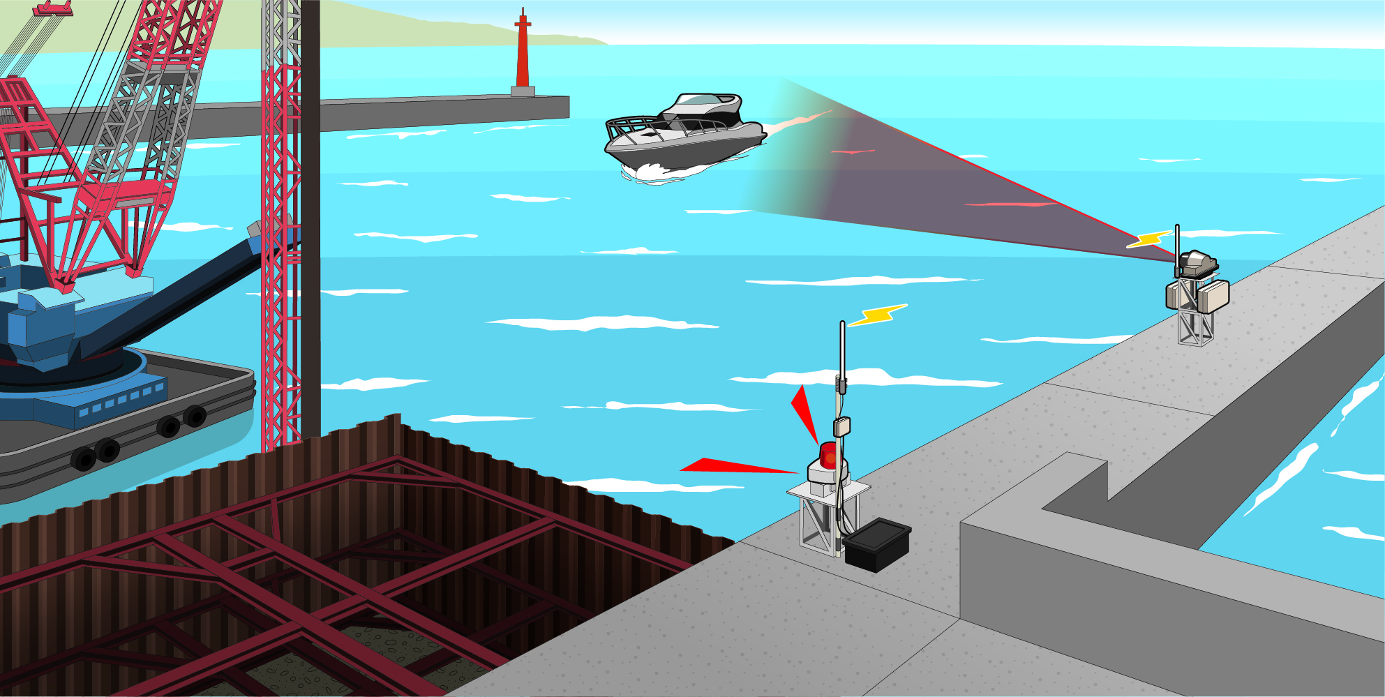
System Overview
- Output alarm signals to external devices such as Rotating warning light.
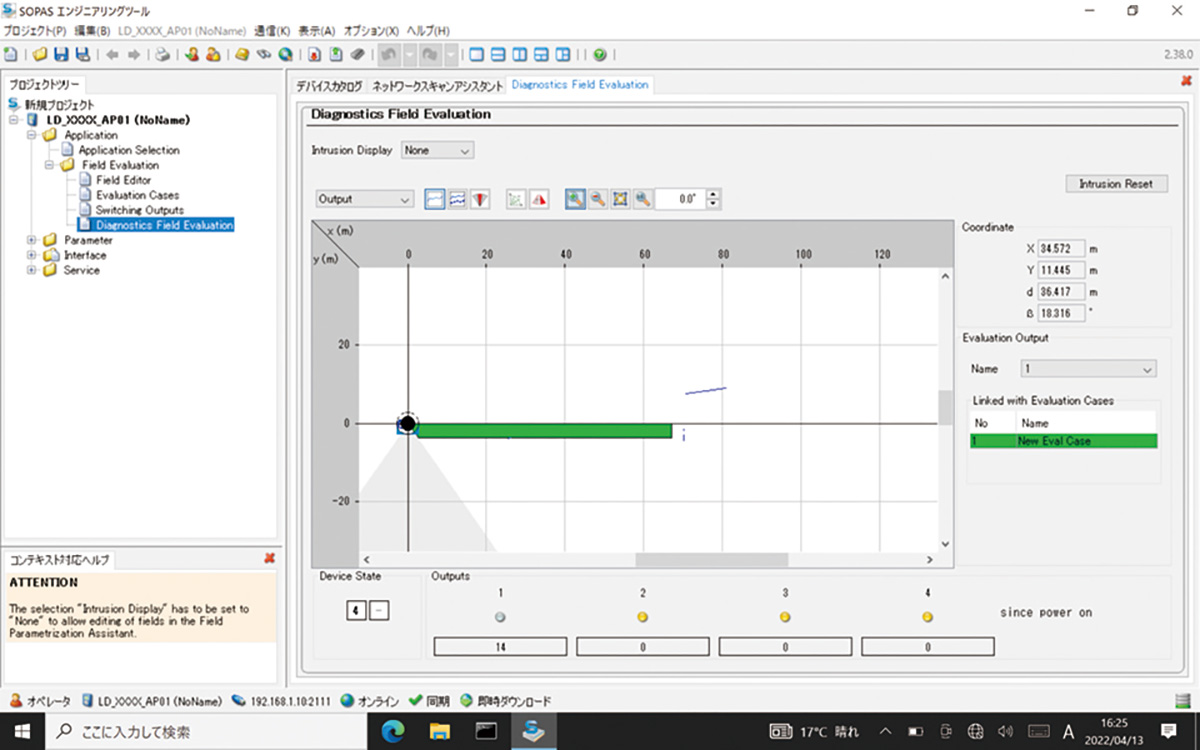
- Allow setting of any monitoring field on the computer screen.
- Reduce false detections from birds, waves, and floating objects by configuring parameters such as continuous detection time and minimum detection size.
- Enable applications such as traffic volume surveys with the detection count function.
Specifications
| Scan Angle | 300 ° |
|---|---|
| Measurement Distance Range | Up to 250 m/ Black Matte Surface (10% reflectance) : 80 m |
| Angular Resolution | 0.125 ° to 1.5 ° |
| Dustproof / Waterproof | IP67 |
| Operating Temperature Range | -25 ℃ to +50 ℃ |
| Power Supply | AC100 V |
| Weight | 9.1 kg (excluding mounting hardware, etc.) |