Ground Improvement Position & Depth Measurement System
Hole Navi
QS-170043-VE
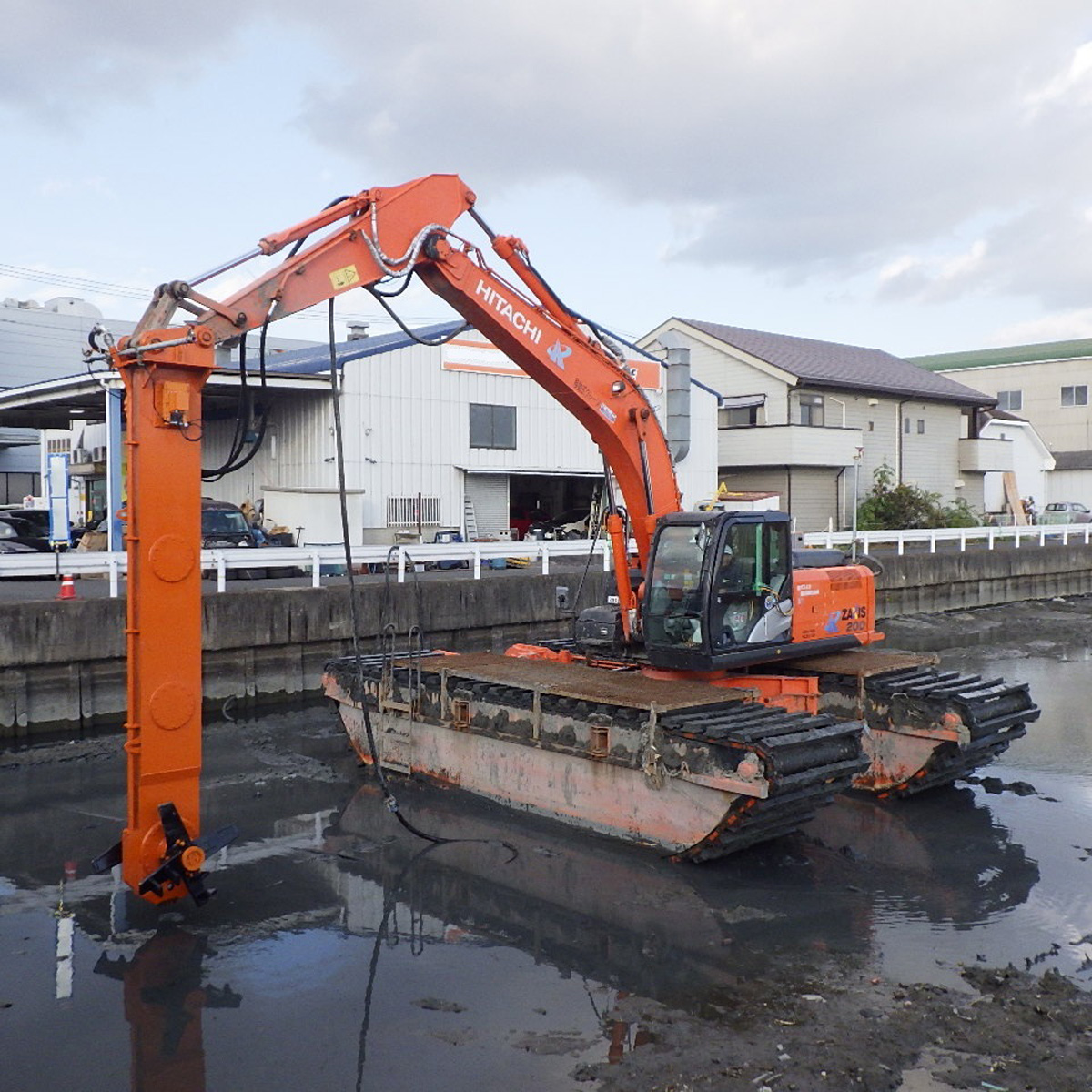
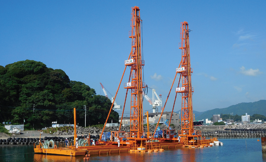
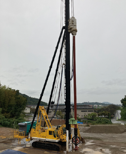
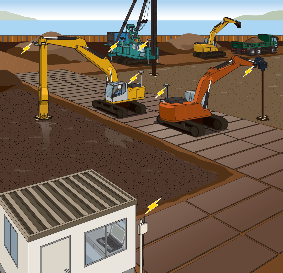
This system measures the position and depth of the mixer on a ground improvement machine using GNSS (VRS method) or an automatic tracking total station. It monitors construction progress in real time, improving quality and construction efficiency. *Depth measurements may be affected by factors such as construction method and type of machinery. Please consult us for details.
Overview Diagram
Four Operational Improvements Achieved with Hole Navi
-
Point1
![Reduce the burden of pile center surveying by selecting equipment suited to site conditions.]()
Reduce the burden of pile center surveying by selecting equipment suited to site conditions.
-
Point2
![Monitor construction progress with higher accuracy by combining data from dual-axis inclinometers.]()
Monitor construction progress with higher accuracy by combining data from dual-axis inclinometers.
-
Point3
![Share the real-time construction status of multiple ground improvement machines to prevent overlapping work.]()
Share real-time construction status of multiple ground improvement machines to prevent overlapping work.
-
Point4
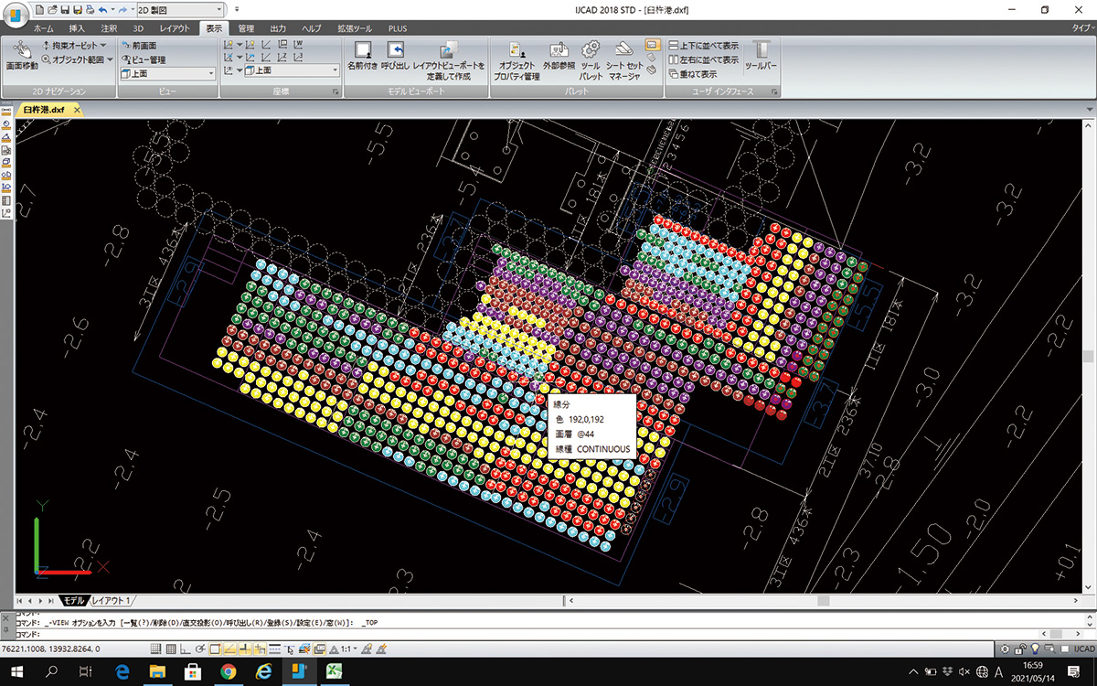
![Color-code work locations by day of the week and output CAD data.]()
Color-code work locations by day of the week and export CAD data.




Management Software
-
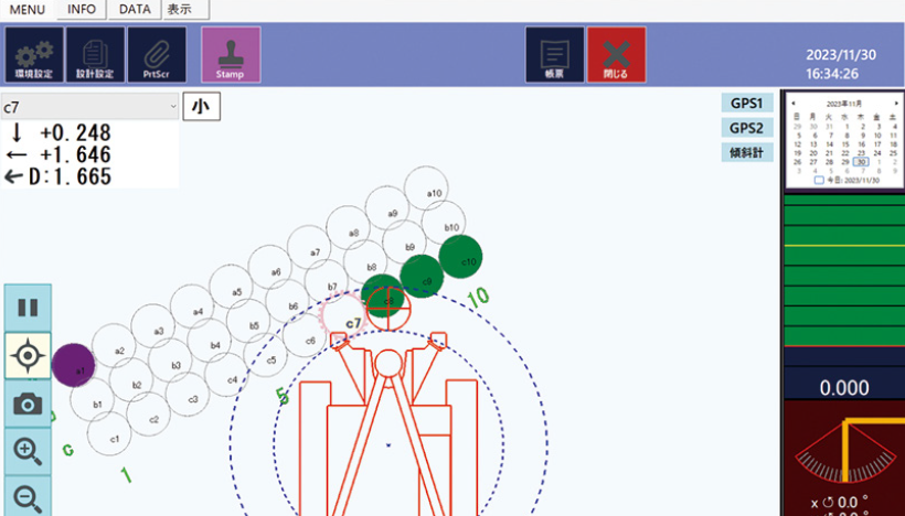
Pile Driving Guidance
![Pile Driving Guidance]()
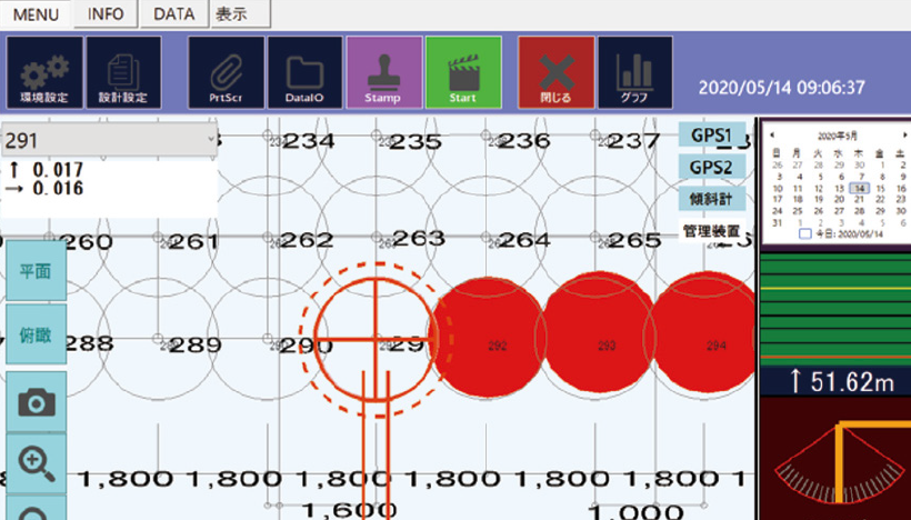
When a guide pile is selected on the screen, the X and Y offsets relative to the machinery are displayed.
-
Progress Management
![Progress Management]()
It enables visual communication of construction progress, supports operational decision-making, and improves construction quality.
-
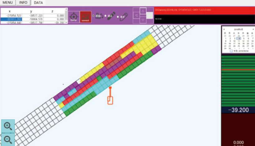
Scope Management
![Scope Management]()
When the specified depth is reached in the construction area, the location is highlighted on the software screen and color-coded by day of the week.
CAD Data
-
![CAD Data]()
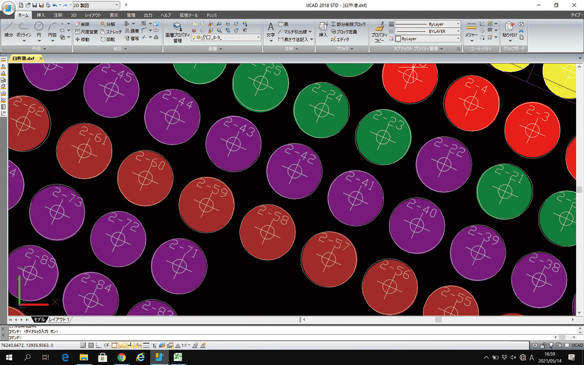
Export construction results as CAD data in DXF format.
-
![CAD Data]()