Superstructure As-Built Management System
Bridge Scanner
QS-230035-A
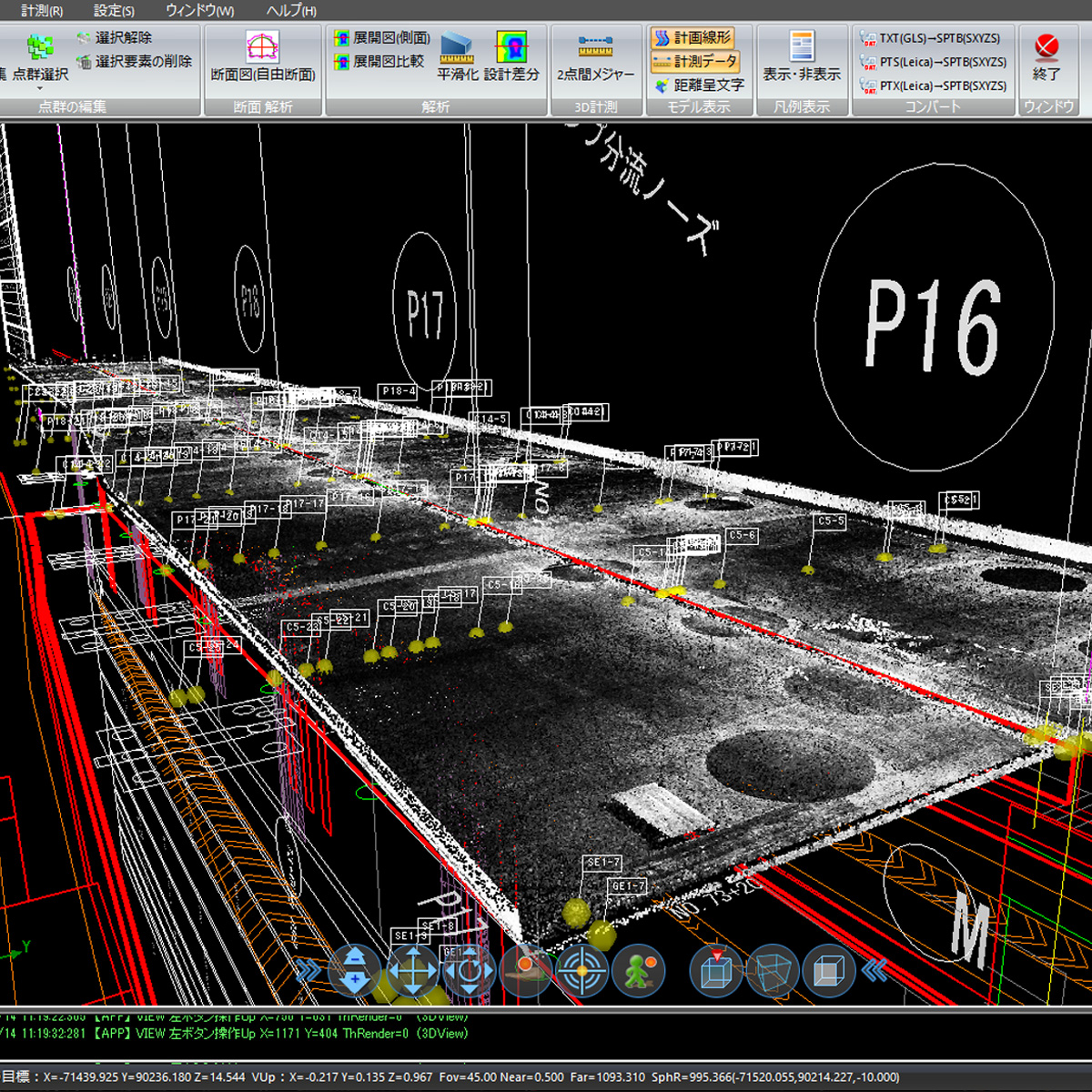
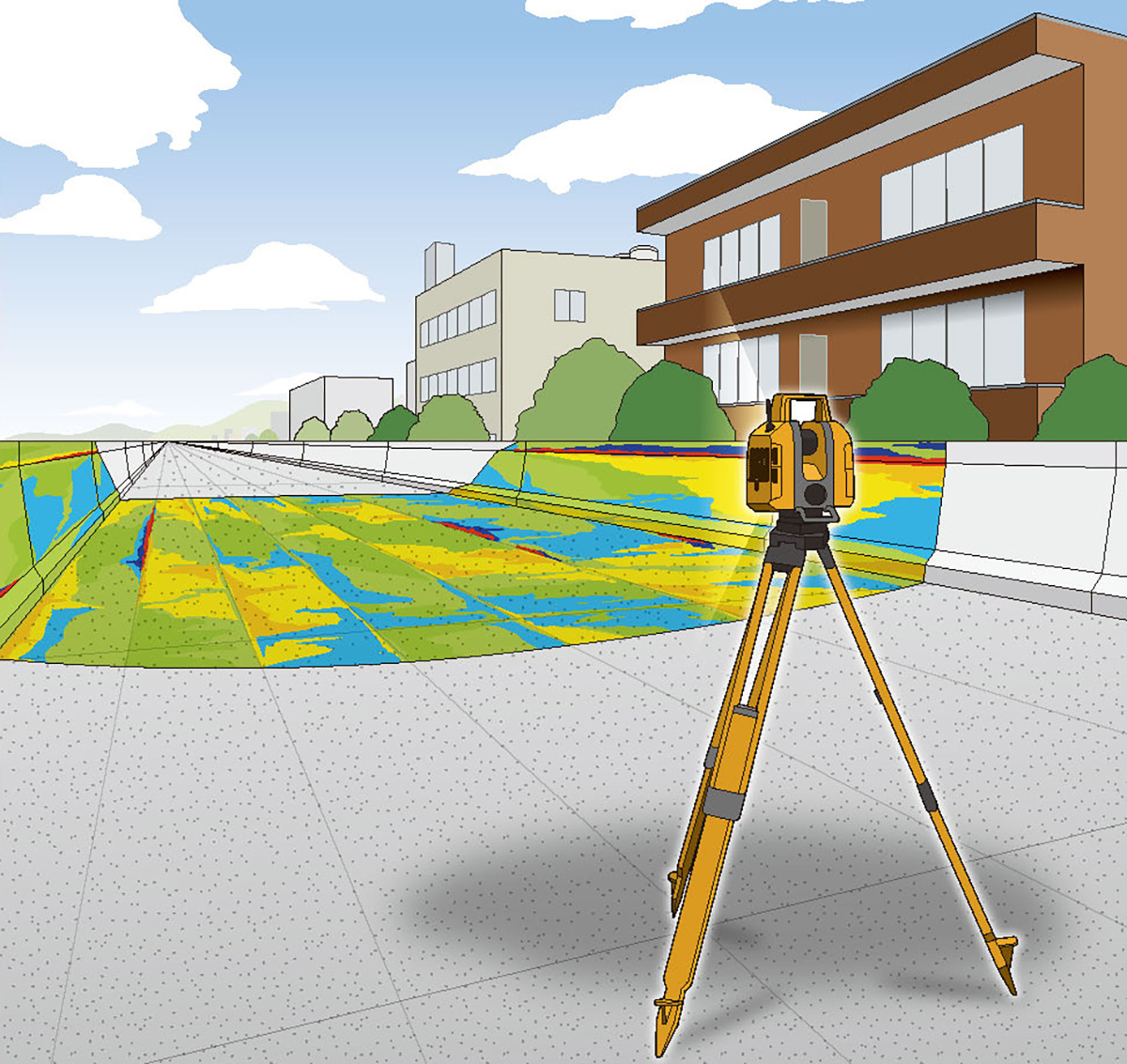
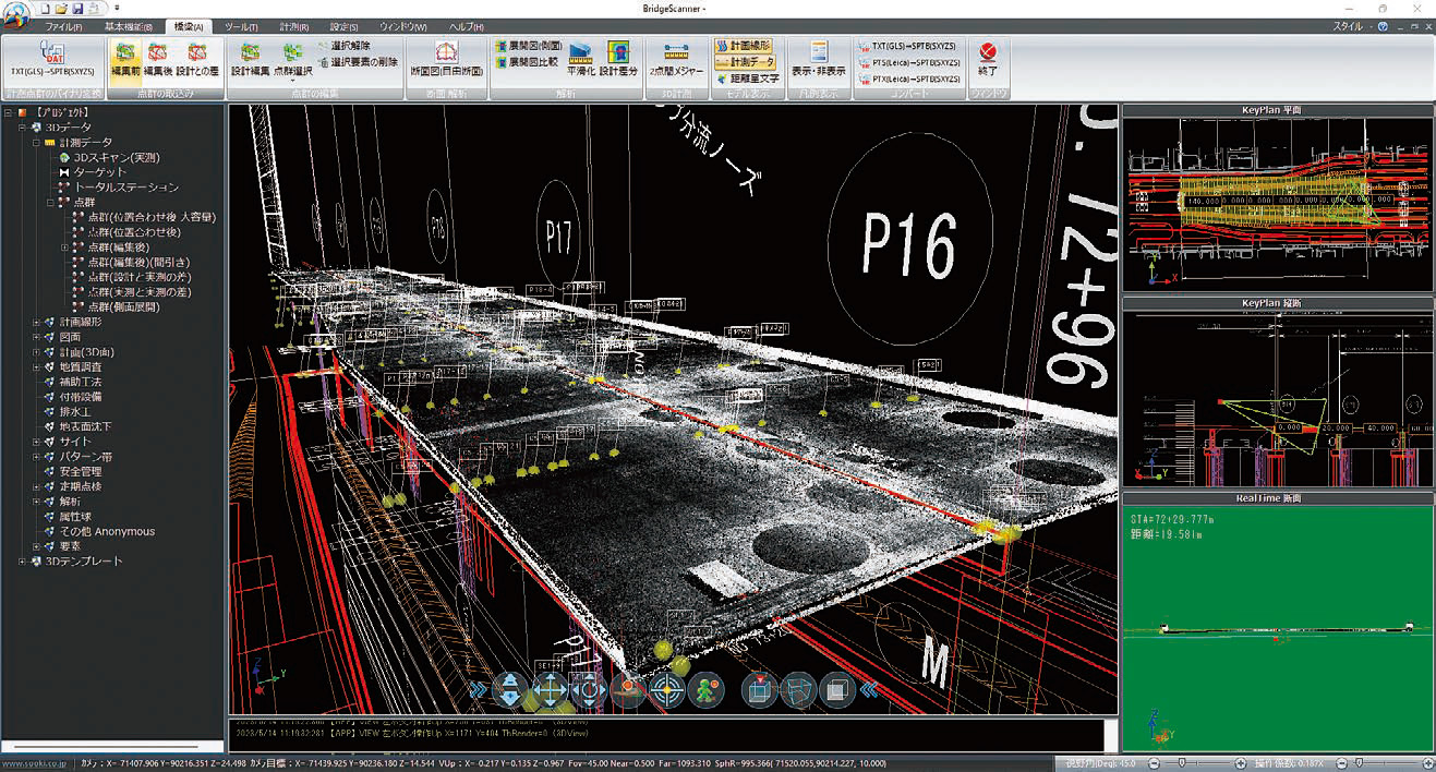
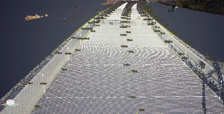
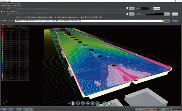
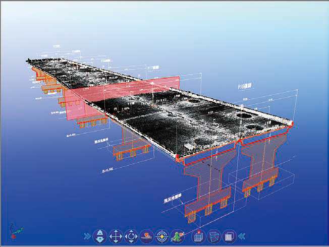
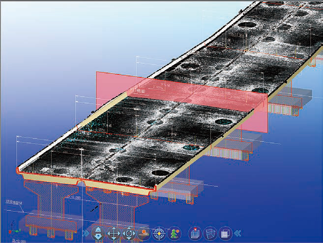
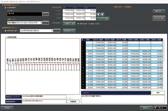
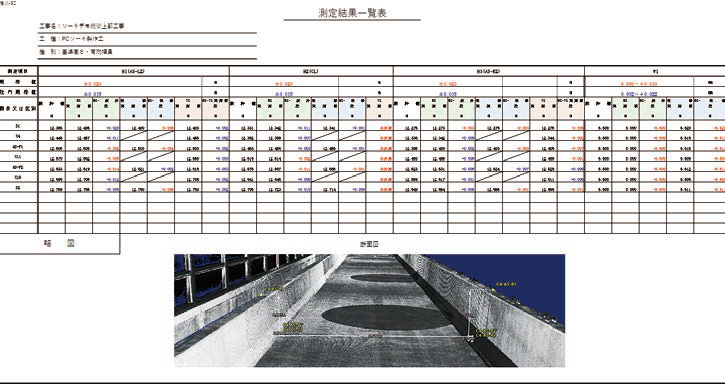
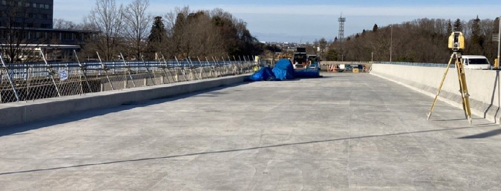
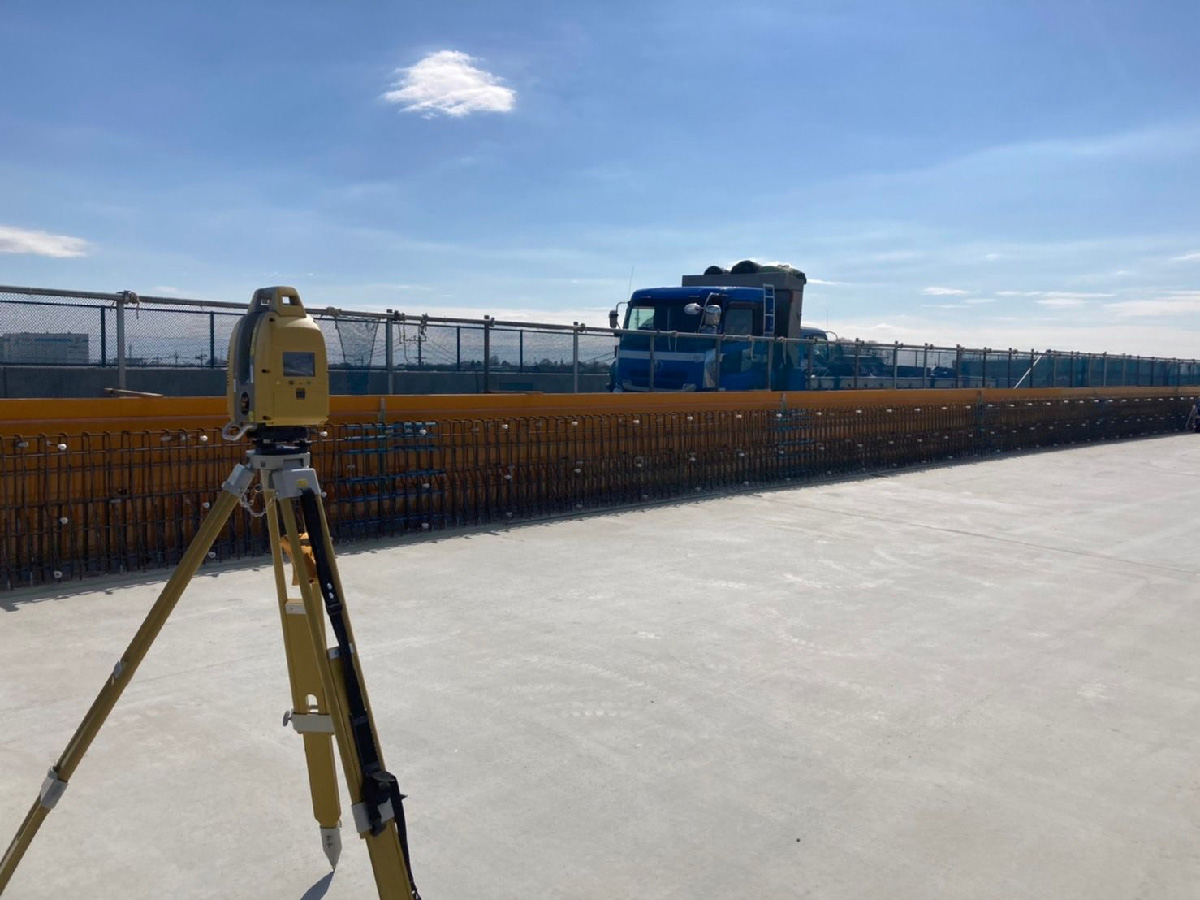
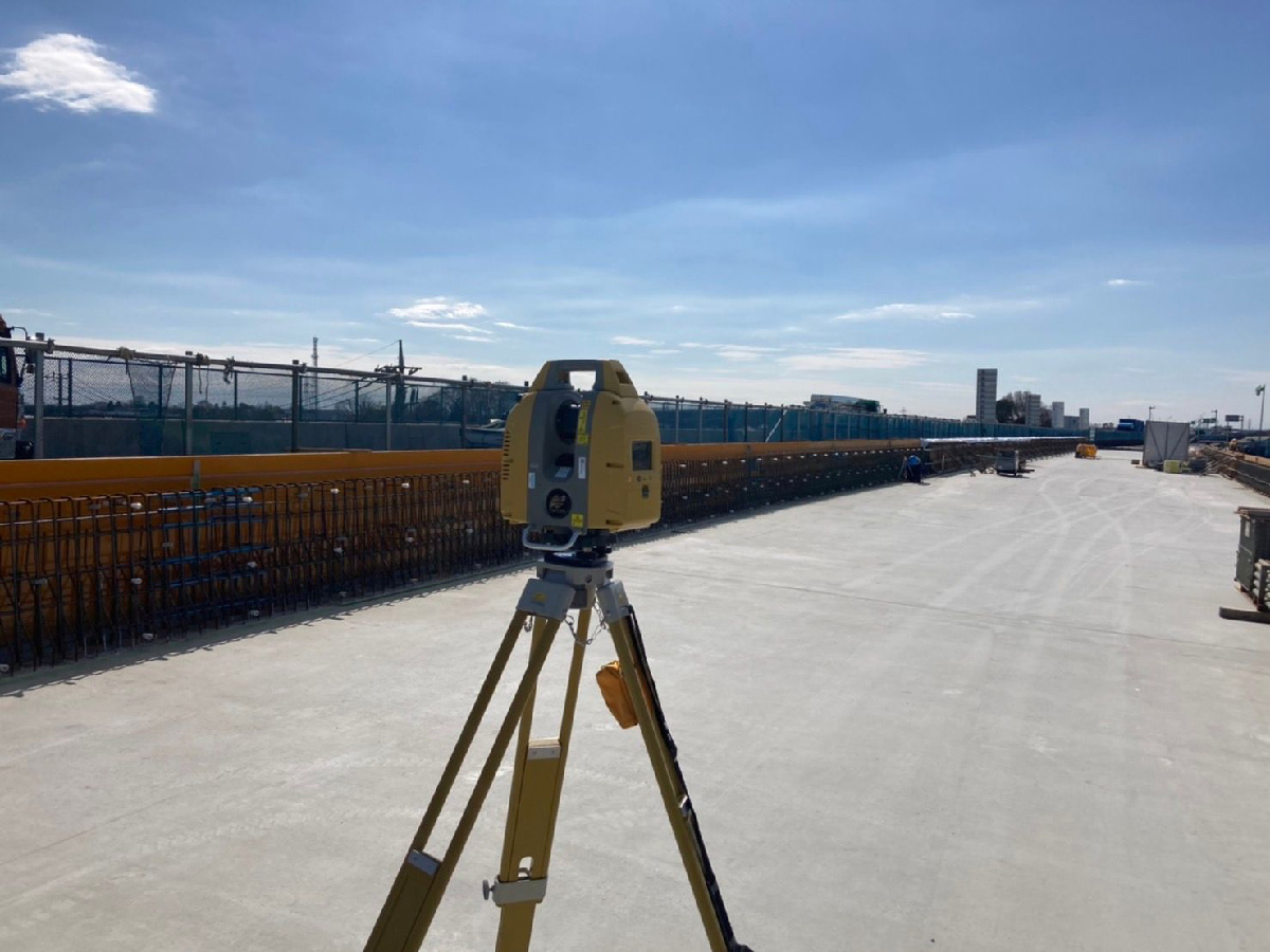
This system converts point cloud data acquired by a 3D laser scanner into a user-defined coordinate system and generates reports comparing the results with the design values in the as-built management table. It also calculates the width and bridge deck reference elevation for each management survey line and can display heat maps. This system complies with the “Trial Guidelines for As-Built Management Using 3D Measurement Technology (Structural Engineering : Bridge Superstructure Edition),” issued by the Ministry of Land, Infrastructure, Transport and Tourism (MLIT).
Overview Diagram