Girder Launching Management System
Bridge Guide
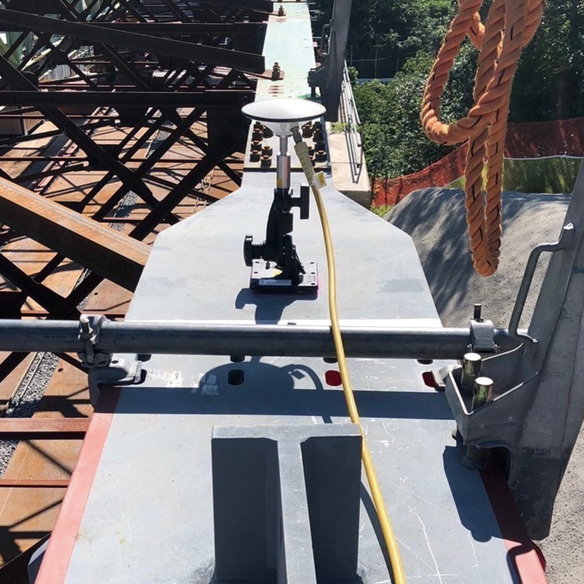
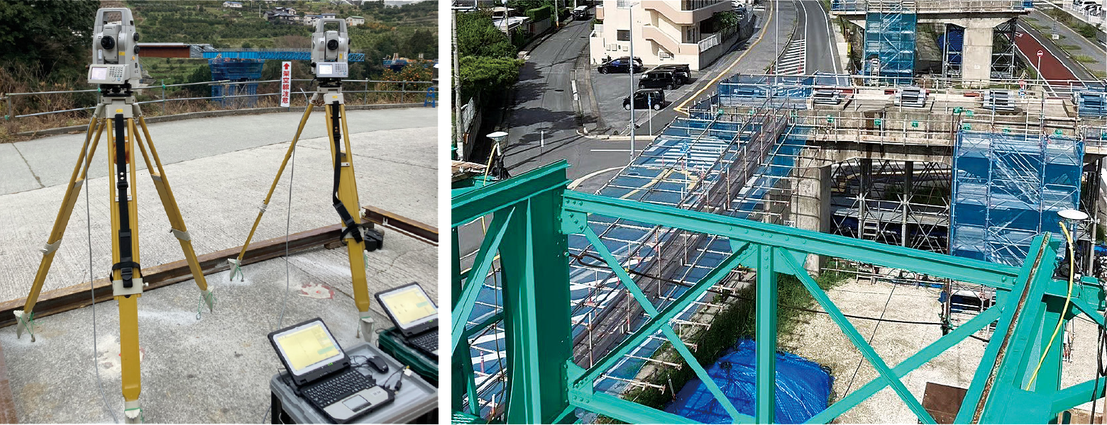
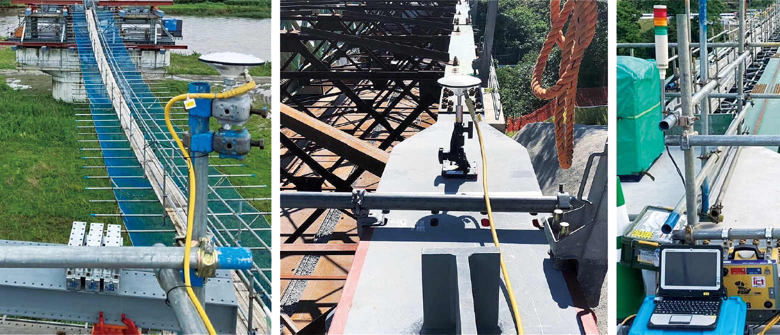
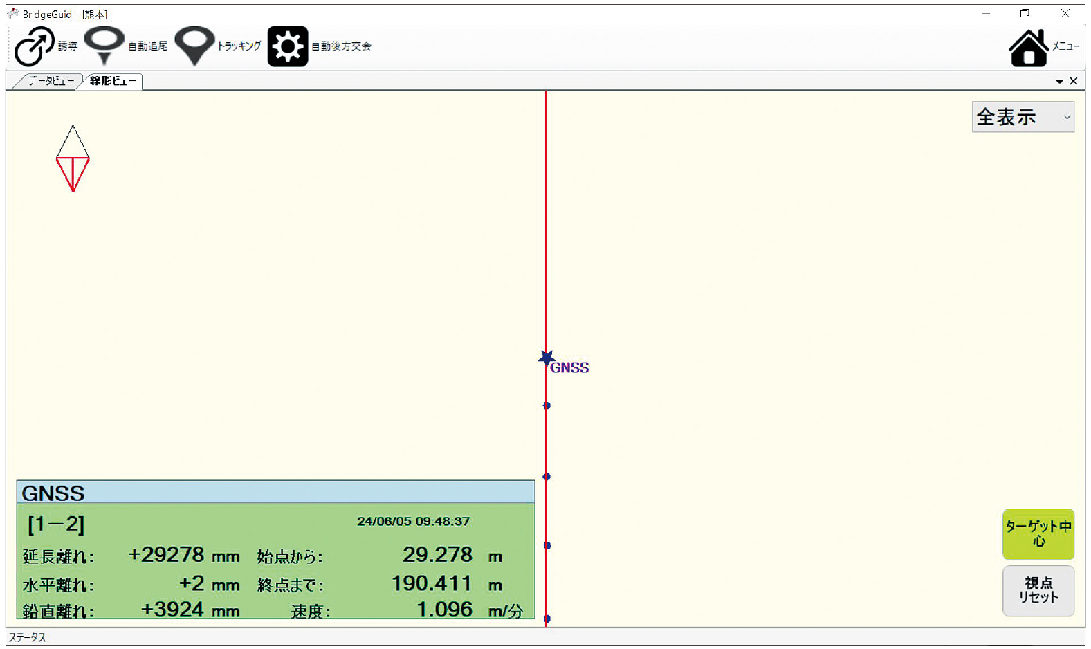
This system uses a total station or GNSS to compare measured coordinate data with pre-registered alignment data, enabling real-time management of horizontal deviation, vertical deviation, feed amount, and feed speed. Measured data is saved as CSV files at one-second intervals. By overlaying drawings into the background of the management screen, management can also be performed visually and clearly.
Overview Diagram
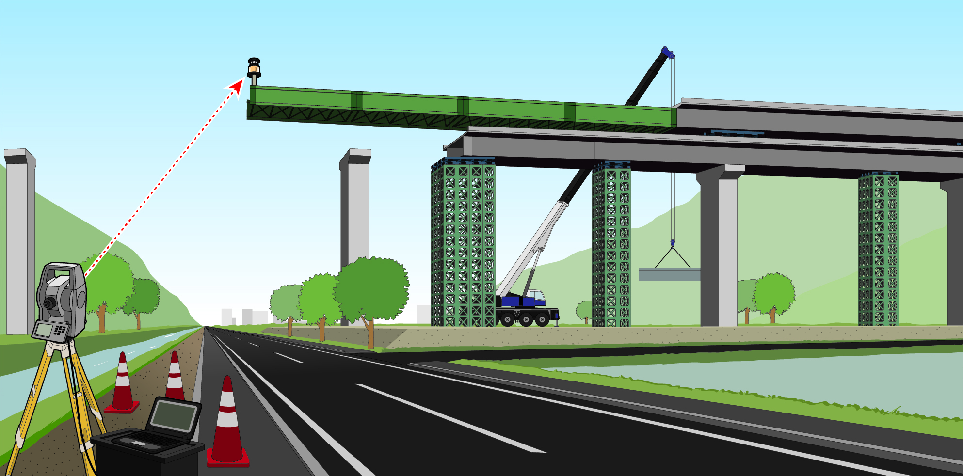
Total Station Specifications
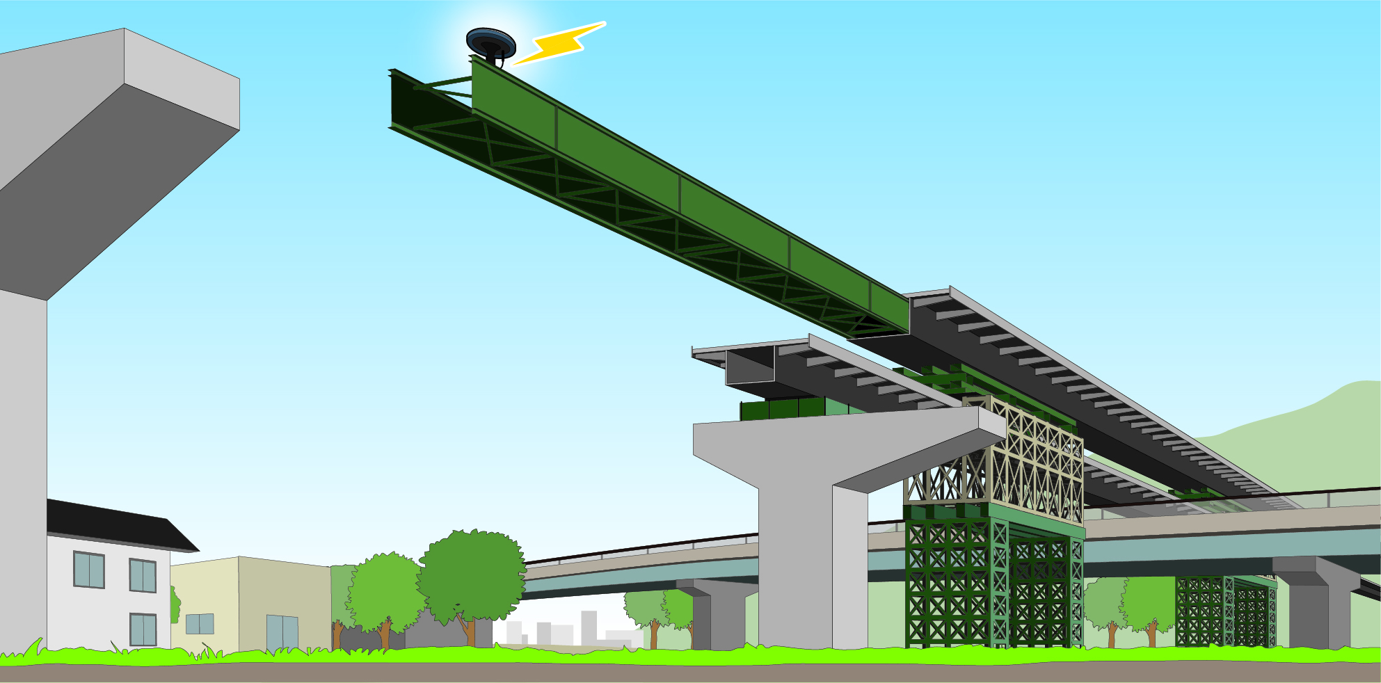
GNSS Specifications
Management Software
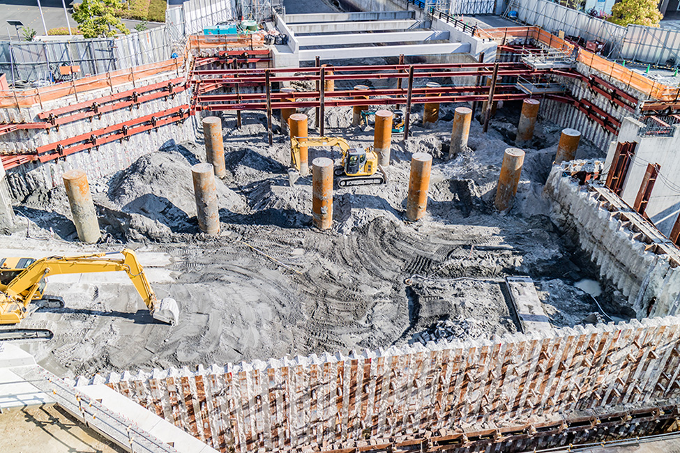
Construction Photography