Construction Height Management System
Height Watch
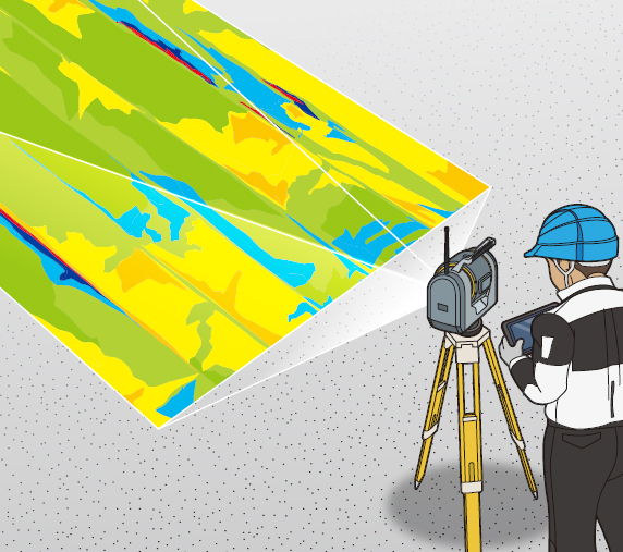
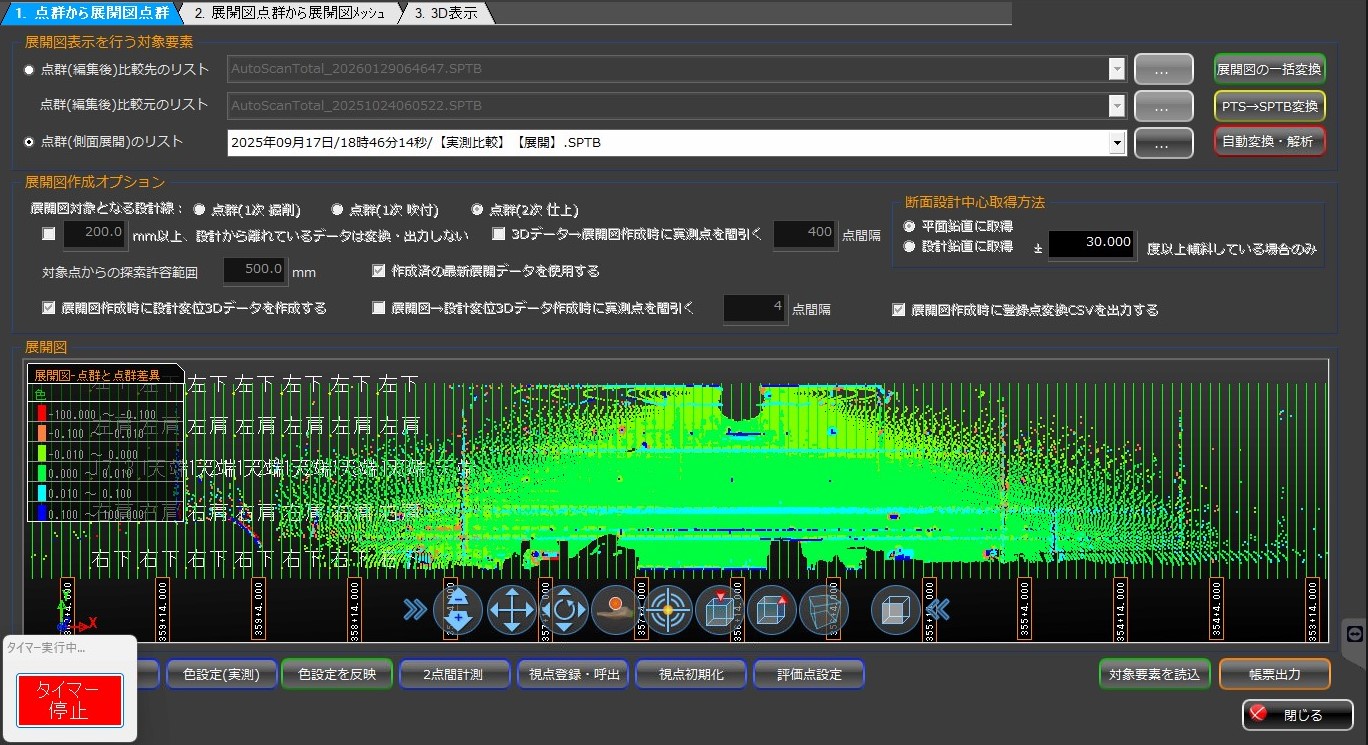
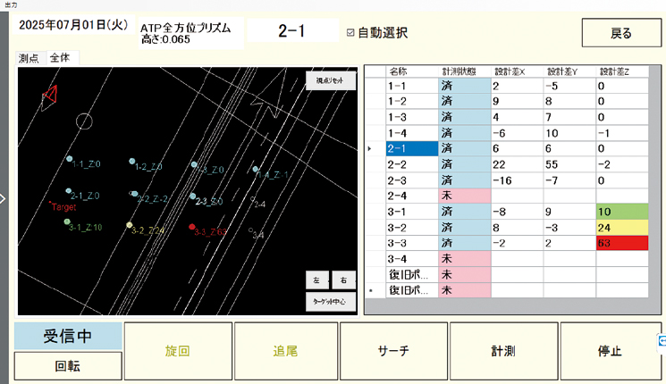
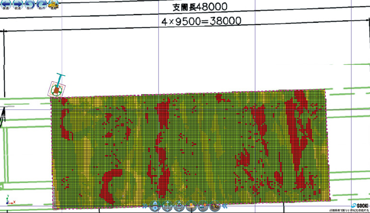
This system enables height management during construction using various surveying instruments such as total stations, scanning stations, and laser trackers, tailored to specific applications. It allows real-time management of the difference between pre-set design elevation data and actual measured values using dedicated software, with measurement results viewable as numerical data and heat maps.
Overview Diagram
-
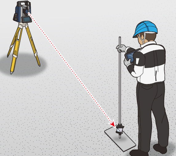
![Total Station]()
Total Station
-
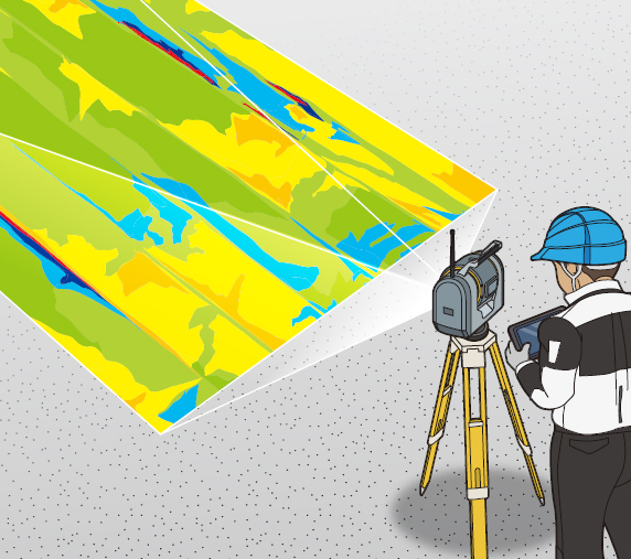
![Scanning Station]()
Scanning Station
-
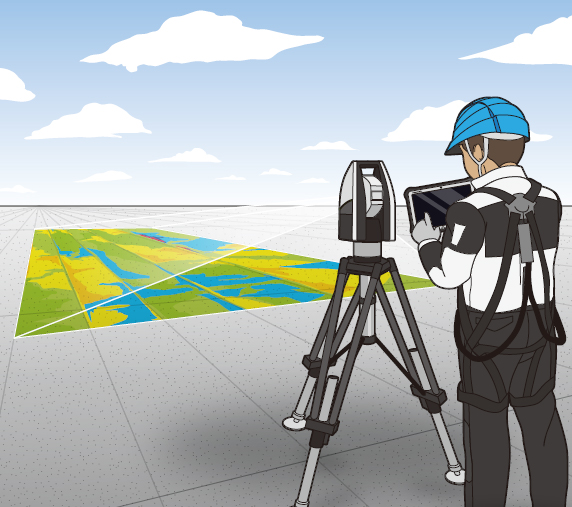
![Laser Tracker]()
Laser Tracker