Real-Time Inspection System
ŌSAMA
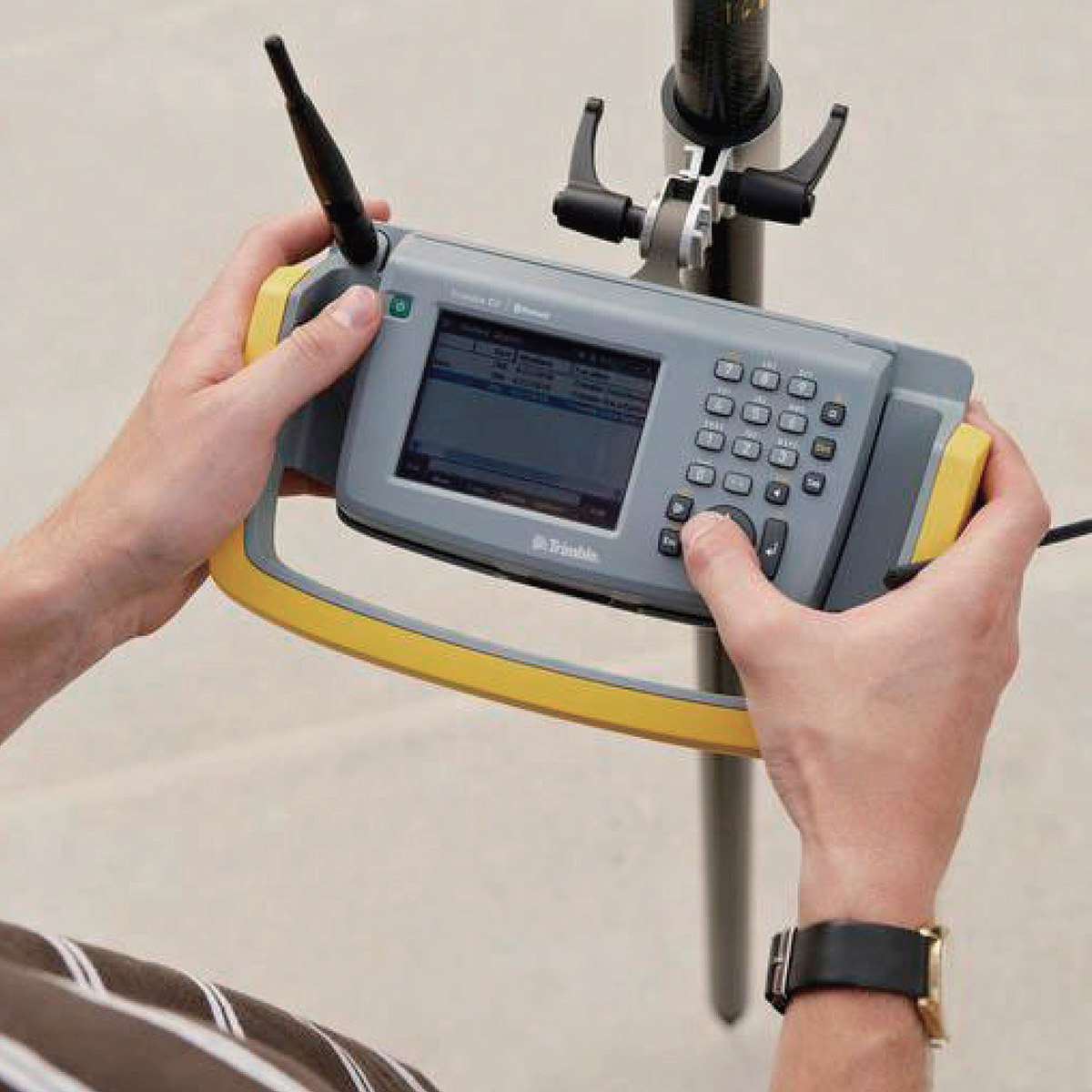
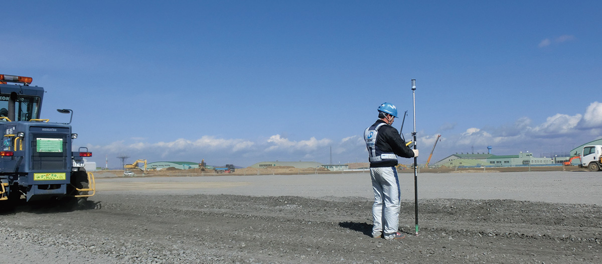
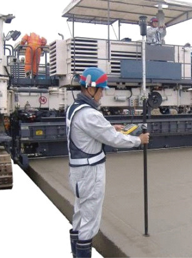
This system verifies as-built conditions, forming the foundation for information-based construction. By transferring data generated by the 3D modeling software PANDA to a total station for measurement, it displays deviations from the 3D data in real time. It can also be used for pre-construction surveys of existing conditions and post-construction accuracy checks. Trimble's S series total stations are used due to their automatic tracking capabilities.
Real-Time Inspection Using 3D Design Data
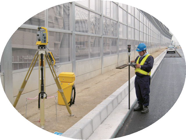
Management Software
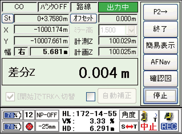
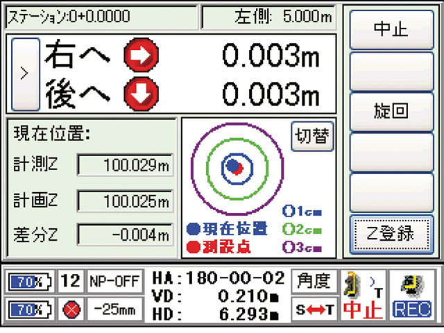
Functions
-
Easy-to-Understand Software
The core MC data path software of ŌSAMA intuitively guides users through the entire workflow, from machine setup and 3D data import to differential detection.
-
Alignment / TIN Data Compatible
Supports both direct height calculation from alignment elements and TIN mesh data derived from point clouds.
-
Layer Selection Support
Layer information can be added to finished surface data created in 3D. Selecting a layer during inspection allows you to check the height difference between the target layer and the measured layer.
-
Survey Point Management Support
Centerline data can be input to 3D data not only from alignment elements but also from TIN data, enabling efficient survey point management. The distance from each survey point is displayed on the difference screen during inspection.
-
Record Button
Pressing the record button during inspection allows measurement data to be recorded. In addition to differences, measurement coordinates, time, prism height, and VD correction values are also logged. Continuous recording is supported.
-
Compatible with No Design Data
Measurement and recording can be performed even without design data, enabling real-time measurement directly on the MC data path.
-
Bank Mode
Enables 3D inspection even on steep slopes.
-
Point Observation Software
The height of each layer can be managed at pre-registered control points.
-
Active Target
Equipped with an active target to prevent misalignment during measurement.
Specifications
| Control Software | MC Data Path and Point Surveying |
|---|---|
| Design Software | PANDA |
| Position Measurement | Trimble Auto Tracking TS S5 / S6 |
| Target | Active Response (T360LED, MT1000, etc.) |
| Bank Measurement | Compatible with Dedicated Jig for MT1000 Banks (Masamune) |
| Other | Basic Surveying Funcyions (Survey Layout, Planimetric Measurement, etc.) |